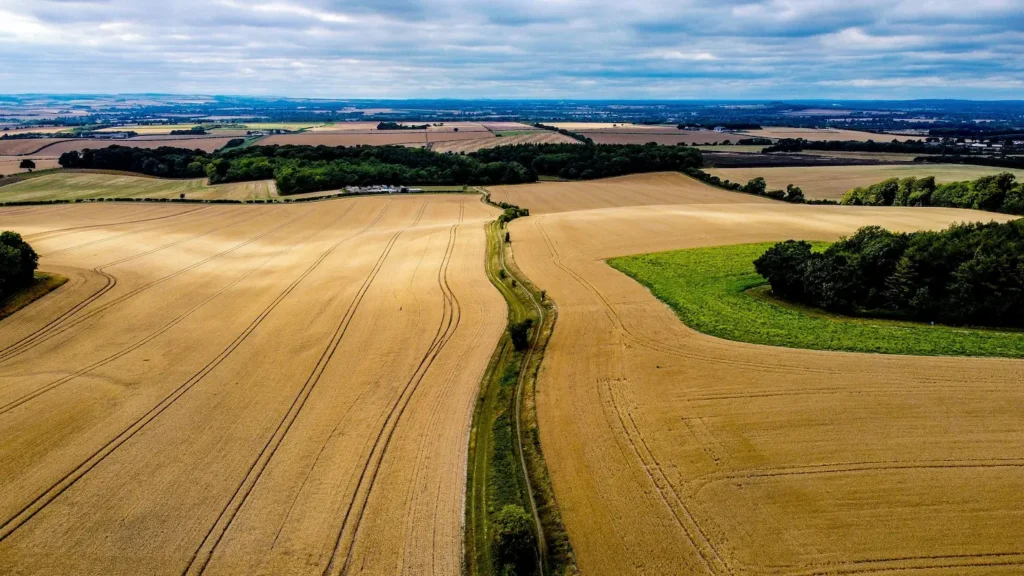
The agricultural sector is a major contributor to greenhouse gas emissions, yet the lack of asset-level farm data, including ownership, land use, and production, hinders effective transition finance and decarbonisation efforts. To address this gap, we developed an open-source farm-level dataset using natural language processing (NLP) and unsupervised learning, mapping farm names to spatial polygons to fill ownership and entity gaps.
In England, this approach identified 117,116 farming entities with essential attributes such as addresses, land areas, crop types, production output, and geospatial coordinates. Such emerging datasets are also critical for financial instruments supporting sustainable agriculture, enabling verification of carbon credits, enhance sustainability-linked loans and improve risk assessment for climate finance.
Authors

Hassan Aftab Sheikh

Alok Singh

Neetu Kushawa

Christophe Christiaen

Nataliya Tkachenko

Juan Sabuco


