Remote sensing, machine learning, and the future of measuring climate-related risk
Accurate asset-level data can dramatically enhance the ability of investors, regulators, governments, and civil society to measure and manage different forms of environmental risk, opportunity, and impact. Asset-level data is information about physical and non-physical assets tied to company ownership information.
Asset-level data resides in a wide range of different locations. It exists in current company disclosures to financial markets, regulators, and government agencies (in multiple jurisdictions and in different languages); in voluntary disclosures; in current proprietary and non-proprietary databases; in public and private research institutions; and in academic research. Despite this, it is often of very poor quality, in terms of both coverage and accuracy. As a result, the use of remote sensing to identify asset-level data can significantly improve our understanding of asset-level risks.
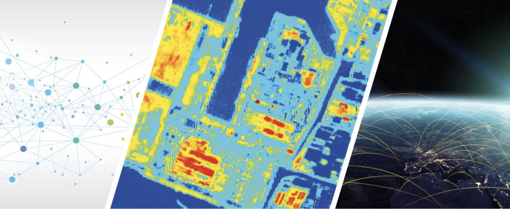
This report examines the potential role of remote sensing (and related technological developments such as machine learning) to secure better asset-level data and at higher refresh rates. In particular we focus on using remote sensing to identify the features and use of assets relevant to determining their greenhouse gas (GHG) emissions.